
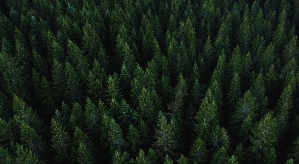
Forest land and forest risk.
Know both before you commit.
The forest doesn't stop at the boundary. Whether you're selling forest land or a property beside it, buyers are asking harder questions, lenders are demanding risk disclosure, and lawyers need documented evidence. Symbiose gives real estate agents verified environmental data: growth, risk, and compliance.
The Problem
Forest proximity used to be a selling point.
Open aspect, natural beauty, rural character. Now other questions are being asked. Is the forest healthy? What's the wildfire exposure? Has the land been certified?
What happens to this property if there's a storm event? Can you prove any of this?
The Solution
Verified, satellite-derived data.
Symbiose provides real estate agents with verified, satellite-derived environmental data covering both forest land assets and the risk profile of properties.
Independent, readable, and transaction-ready. You don't need to be a forester to use it. Our data bridges the gap between environmental complexity and real estate clarity.
Core Deliverables
What's the forest worth? What's the risk?
Two questions every real estate investor needs answered before they transact.
Due Diligence
Faster DealsVerified data on species, density, and canopy health. Ready before the deal moves.
Asset Verification
ReputationSatellite confirms what the seller is claiming. Not their word. Yours.
FSC Status
Fact-BasedCertification verified independently. A documented fact, not an assumption.
Valuation
PricingSatellite-derived pricing that holds up to lender and legal scrutiny.
Risk Profile
DisclosureWildfire, wind, pest, drought. Disclosed upfront. No late surprises.
Wildfire
MortgageIs your asset in a fire corridor? Know before your insurer does.
Storm Exposure
ManagementForest adjacent means wind risk. Quantified, disclosed, managed.
Pest & Disease
LegalA declining forest next door is a liability. Catch it early.
Climate Stress
ValueForward-looking indicators, not just a snapshot.
Satellite Intelligence
See what a standard
survey misses.
Wildfire corridors, canopy stress, vegetation risk, mapped to your asset before you commit.
Methodology
How It Works
Remote
No site visits. No delays.
Verified
Evidence that holds up to insurers, lenders, and lawyers.
Scalable
Any forest-adjacent asset across Europe.
Trusted
Built by experts. Backed by ESA, BPIFrance, and the Luxembourg Space Agency.
Institutional Partners & Verification
Know the risk before you own it.
Contact us to find out what it reveals.